|
Coming
in 2026 Local Knowledge 2nd Edition, a
vastly expanded guide to navigating the Inside Passage.
"A
navigation multi-tool for the Inside Passage"
This
book contains an eclectic assortment of valuable navigation tools including over
50 pages of handy distance tables between West Coast ports and anchorages for navigation
planning and strategies for managing the tides and currents in
Johnstone Strait and Cordero Channel set out in an easy-to-use tabular format.
This
reference guide for the pilothouse contains an assortment of valuable navigation
tools including:
·
More than 50 pages of distance tables for finding distances between West Coast ports and
anchorages for navigation planning. More than 800 ports and anchorages are
identified with over 12,000 separate distance measurements
·
Detailed
guidance for navigating BC coastal rapids,
with a focus on the tides and currents in
Johnstone
Strait
and Cordero Channel, set out in an easy-to-use tabular format.
·
Conversion tables, time, distance and speed tables, weather tables,
radio procedures and frequencies and a host of other useful information
resources to answer many of the questions that come up while underway.
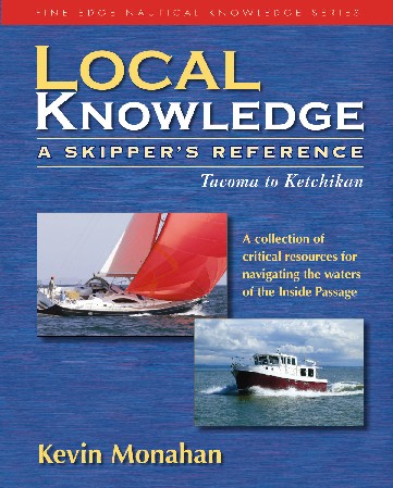
This
book provides the local knowledge to simplify navigation and safe passage from
Tacoma to Ketchikan.
"Sure
there are Guide Books for this area but this one is like nothing you have ever
seen. It has all the information the others don't have, all to make captains
or navigators lives much easier."--Northwest Yachting Magazine
|